
Equal address counts don’t create equal shifts. A volunteer can finish a compact rowhouse packet while another spends the same shift crossing long blocks, waiting for apartment access, or doubling back around a barrier. Effective turf cutting starts with the effort a person can complete, then adjusts the map using results from real shifts.
A good packet is more than a cluster of dots. It’s a clear, reachable assignment matched to the canvass goal, the volunteer’s route class, and the time available. The map is a starting point; pilot data determines whether the packet is workable.
Set Your Goal and Shift Size Before Drawing Turf
A packet should be sized by minutes and effort, not address count. Turf cutting divides a voter universe into assignments one volunteer can finish in a shift, and the campaign’s goal defines that universe before anyone draws a boundary. A persuasion canvass may focus on undecided households; identification work may target people whose support needs confirming; a turnout push may prioritize supporters who need a reminder.
The ranges below are starting points for a standard two-hour shift, not targets to impose on every route. Walk time has no universal figure because block length, terrain, access, and pedestrian connections change the actual workload. Calibrate it during the pilot rather than trusting a map estimate.
| Route type | Doors per shift, starting range | Target walk time | Effort label |
|---|---|---|---|
| Dense walk-up apartments | 45–60 doors | Calibrate in pilot | High |
| Urban rowhouse blocks | 70–90 doors | Calibrate in pilot | Medium |
| Walk-only suburban streets | 80–110 doors | Calibrate in pilot | Low |
| Suburbs with long driveways or cul-de-sacs | 60–80 doors | Calibrate in pilot | Medium |
| Rural drive-between-clusters | 35–55 doors | Calibrate in pilot | High |
| 60-minute volunteer shift, any type | 35–50 doors | Calibrate in pilot | Low to Medium |
Treat these ranges as an initial workload hypothesis. A dense apartment route may have nearby addresses but slow entry; a suburban walk may have more doors yet require little backtracking. If the first volunteer finishes early or returns with much of the packet untouched, adjust the boundary or door target before assigning the next person.
Calculate the first packet batch
Divide the eligible address universe by the planned number of shifts, then keep a small reserve for mid-shift reassignment. For example, a universe of 1,200 dense walk-up addresses at a starting benchmark of 50 doors per shift requires 24 shifts. Adding a 10% reserve brings the planning total to 1,320 doors, or 27 packets of about 50 doors. Those figures describe a planning example, not a promise that every volunteer will complete a packet.
Practical rule: Set a starting door range, run a pilot shift, then size the remaining packets to the effort the pilot actually reveals.
The phrase “turf cutting” also refers to Irish peat harvesting, so search results can mix two subjects. This guide covers canvassing routes only.
Prepare and Filter Voter Data for Clean Turf
Start with the voter list, not the map. A clean-looking boundary can’t fix an incorrect target universe: every packet is drawn from the records selected before mapping begins. Define who should receive contact, remove unusable records, and check the geography before assigning a volunteer.
Work through the list in order
-
Choose the source. Upload a CSV, JSON, or Excel file through List Upload, or select voters through MailVotes using state, race, party, and vote-history filters. The direct handoff to doornoc avoids a manual export. For a more detailed list-preparation workflow, use these voter data filtering strategies.
-
Remove records that can’t be canvassed and eliminate duplicates. Exclude commercial parcels, vacant listings, and repeated rows from merged files. Leaving them in makes a route look larger without giving a volunteer more valid doors to knock.
-
Geocode the addresses and review the match rate. A sharp drop from 95% to 80% can signal a formatting problem in one county’s file. Check the source format and affected records before creating routes; otherwise, unmapped voters can vanish from the assignment or land in the wrong place.
-
Separate households from units. An apartment building may contain several voter records at one address. Keep household counts distinct from unit counts so that the packet reflects the entrances and interactions a volunteer will encounter in practice.
-
Write the treatment universe as a reproducible rule. For example, specify eligible addresses in two precincts above a chosen turnout-score threshold. A defined rule lets the campaign rebuild the same universe later and understand what changed when targeting shifts.
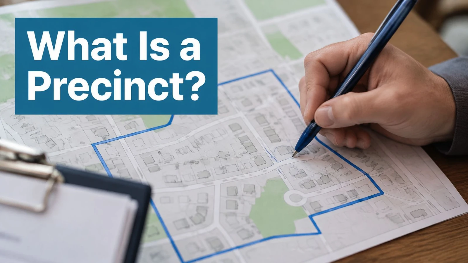
After filtering, estimate target density and walking distance, then divide the map along traversable streets and real pedestrian barriers. Rivers, rail lines, highways, and gated complexes should shape packet edges; a tidy geometric shape isn’t useful if the volunteer can’t walk between its addresses. Inspect for crossovers and isolated pockets before assigning routes.
A large canvassing program also has to manage neighborhood selection, goals, timing, recordkeeping, supervision, and geographic variation. Personal canvassing has increased turnout by about 6 percentage points in some U.S. settings, but poorly reachable or incomplete packets can undermine delivery of the program itself (research on canvassing program management and turnout). The list and map need to work together.
How to Draw or Auto-Generate Turf Packets
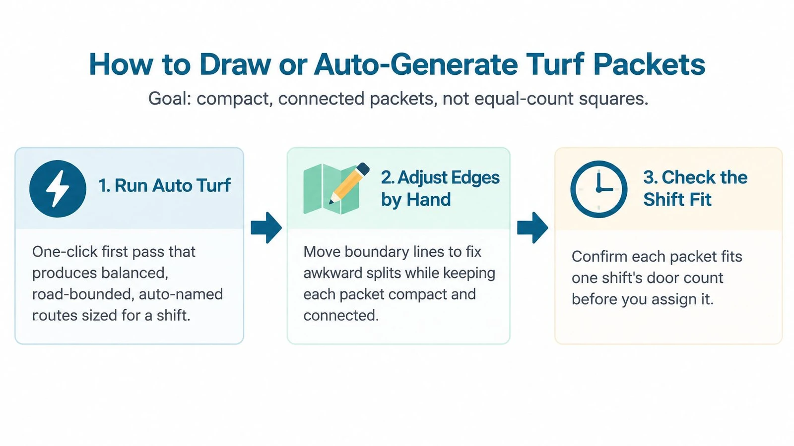
A clean-looking map can still hand a volunteer an unworkable shift. Size each packet around the doors one volunteer can finish on that route type, then use pilot-shift results to recalibrate the next cut. Start with a compact, connected area rather than an equal-count square. Scattered records add travel and make the assignment harder to follow.
Start with the tool-generated shape
-
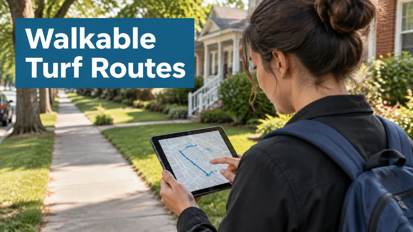
Run Auto Turf for a first pass. It generates road-bounded, auto-named routes balanced by estimated walk time. This saves the time of hand-drawing every boundary, but the generated edges still need review. In doornoc, you pick a route count and Auto Turf builds the routes from your filtered voter universe, showing each one’s party breakdown before you assign it.
-
Use Polygon Route where local judgment matters. Draw around a neighborhood line, a partly built subdivision, or a school-district edge, then match the voters inside. This keeps the territory aligned with a useful local boundary instead of forcing it into a generic shape.
Make the map pass the field test
-
Check pedestrian barriers. Review rivers, rail lines, highways, and gated complexes. Routing built on the road, rail, and river network can respect those features, but a boundary through a gated community still needs a human check. The map may show nearby addresses without showing whether a volunteer can enter or cross safely.
-
Inspect neighboring packets for crossovers. Check for blocks assigned to two volunteers and boundaries that split one side of a street inconsistently. Either error can lead to duplicate knocks or leave volunteers unsure which doors are theirs.
-
Find isolated islands. If a small cluster takes a volunteer 20 minutes to reach from the rest of the packet, it is not meaningfully connected, even if the map gives it the same color. Tighten the boundary or make the cluster a separate assignment.
-
Compare the workload with the starting shift ranges. Use the ranges set earlier to flag packets that appear too large or too light. Hold off on changing door counts until pilot shifts show how each route performs. The map gives you a starting estimate, not a finished measure of effort.
-
Lock and name the route after the checks pass. Use a clear street anchor, such as “Maple to Eighth,” so a volunteer can recognize the assignment on a phone. Vague labels leave staff explaining which corner or block the packet covers.
Automation speeds up the first cut; field review catches access problems, awkward edges, and confusing boundaries a map alone can miss. Compare the planned route with what volunteers complete, then adjust packet size to match the actual walking effort. A volunteer should receive a route that makes sense on the map and on the ground.
Balance Effort and Walkability Across Routes
A packet with 150 addresses may fill one volunteer’s shift on flat streets and leave another volunteer short on time when it includes steep climbs, difficult entries, or long gaps between safe walking paths. Set each target by the doors a volunteer can finish under that route’s conditions, then adjust it using results from a pilot shift.
| Effort factor | How to measure it | Starting adjustment |
|---|---|---|
| Multi-unit building entries | Count apartment lobbies and entry buzzers per packet | Lower the door target when entry waits or access steps are substantial |
| Vertical climb | Review elevation change across the packet | Lower the target for sustained steep climbs |
| Rail, highway, or river crossings | Check for crossings on foot with no safe path nearby | Split the route or remove the unsafe crossing |
| Access restrictions | Identify gated complexes, locked lobbies, and long driveways | Arrange access in advance or assign a driver-supported route |
| Sidewalk gaps | Mark stretches with shoulder-only walking | Set a lower target for these routes |
| Dead ends and cul-de-sacs | Count streets that require walking back out | Allow more walking time for each dead end |
| Block length | Estimate the average distance between addresses | Lower the target for long blocks |
Use these adjustments as starting points, then revise them from pilot data. The effort label summarizes route conditions: Low means the packet fits its benchmark without adjustment; Medium means one or two factors call for a change; High means several factors need adjustment, or a crossing lacks a safe path. Very high effort means the packet should be split or assigned to a driver-supported class.
Match the route class to the person
Set the route class around both the expected door count and the access plan. A walking-only volunteer needs a route that can be completed on foot. A driver-supported assignment can connect distant clusters, with workable parking and pedestrian segments. For wheelchair users, check accessible paths and entrances; a lower door count does not make an inaccessible route usable. Build short-shift boundaries around the time available instead of shrinking a full route without checking its layout.
Before assigning a packet, ask: How many doors can one volunteer finish in a shift under these conditions? A 150-address route can demand very different effort depending on elevation, building access, and pedestrian infrastructure. Guidance on route planning addresses road and barrier boundaries, but does not establish a broadly applicable workload model or equity standard (route-planning considerations for diverse mobility and terrain).
Use the first two shifts of observed results to recalibrate each packet. Compare doors completed with the starting estimate, noting which route conditions affected the pace. Then change the target or effort class before handing out the next packet.
Assign Routes and Prepare Offline Packets
Assignment and offline preparation are one workflow. Matching the route to the volunteer is only useful if the person can open the packet, record what happens, and get the results back to the team. Choose the route class first, then check the volunteer’s capability and the device’s readiness.
A walking-only packet belongs with someone able to handle its distance and climb; a driver-supported route needs a volunteer with a car. A shorter assignment can give a first-timer a manageable introduction, while a High-effort packet is better paired with an experienced canvasser or partner.
Complete the device check before departure
-
Open the app while connected. Sign in and open the assigned packet so the map and voter records download before the volunteer reaches an area with weak service.
-
Verify the assignment and reserve. Confirm the packet count on the device and identify the reserve packet. This gives the lead a practical option if a volunteer finishes early or another route stalls.
-
Log a test interaction and sync it. Check that the test appears on the dashboard after synchronization. That catches a device or account problem before the volunteer is far from staff support.
-
Record interactions as they happen. Offline mode can preserve the data and sync automatically after connectivity returns. The volunteer shouldn’t rely on memory or wait until the end to reconstruct the route.
-
Carry a printed address backup for dead zones. Agree on when the team will return to a service area so unsynced results can reach the dashboard.
For teams preparing for disconnected areas, this offline canvassing app checklist helps staff check what the app needs to support.
The common failure isn’t that offline capture stops working; it’s that a volunteer finishes and never reconnects. The device may hold the records, but the dashboard stays blank until synchronization occurs. Make reconnection part of the assignment instructions, not an assumption.
Monitor Routes and Decide Re-cuts or Channel Switches
A packet’s door count matters less than the effort it takes one volunteer to finish it. Track doors attempted per hour, contact rate, completion rate, and median minutes per completed address by route. Compare those measures with the packet’s route type and pilot-shift results before changing its size. Use the median, not the average, to set a practical benchmark and spot routes that demand a recut.
| Symptom | Likely cause | Fix |
|---|---|---|
| Low doors per hour and long walk time | Packet too spread out or too many dead ends | Re-cut with a tighter boundary and reassign |
| High attempts, low contact rate | Wrong hours or weak targeting | Move to evening shifts and revise the universe |
| Many not-home results on valid addresses | Timing or vacancy | Revisit at a different hour and check vacancy data |
| One volunteer far slower than peers | Needs support or wrong route class | Pair with an experienced canvasser or move to a shorter packet |
| Addresses that fail to match | Data quality in the source file | Correct the list and re-geocode before reassigning |
| Route completed with few conversations | Completion measured instead of productivity | Shift targets to high-value households |
Read route patterns alongside the shift conditions. Low attempts paired with long walks point to excess distance or dead ends. High attempts with few contacts suggest a timing or targeting problem. Correct unmatched addresses in the source list before recutting. If a volunteer trails peers, check whether they need support, a partner, or a different route class before asking them to knock faster.
Apply clear rules for the next move
-
Re-cut when the packet stays far above its benchmark after two shifts and staff confirm access barriers. Compare its median minutes per completed address with similar routes, then tighten the boundary or move difficult blocks into a more suitable class.
-
Revisit high-value households at a different hour when earlier attempts show interest but contact remains low. Use the record to identify a plausible opportunity for another visit, rather than treating every unanswered door as a reason to return.
-
Switch to phone or mail when repeat visits produce few conversations and there’s no access barrier. Weigh confidence in the contact rate, conversation length, prior attempts, accessibility, and voter priority. A route can be efficient to walk and still be a poor use of another shift.
Use conversation quality to interpret completion figures. For example, a volunteer could complete 90 doors and log four conversations. Compare that result with a route of similar effort that produced more meaningful contact, then investigate differences in timing, targeting, or route class. Preserve raw event records so staff can review the basis for each decision. A campaign analytics dashboard helps staff compare route progress and flag packets for attention during the shift.
If a route stalls, assign the reserve packet only when it fits the volunteer’s route experience and remaining time. Size future packets from the initial shift targets, generate turf for the defined universe, then pilot packets and revise them using observed shift data. Decide recuts before the first weekend ends, while field staff can still act on what the pilot revealed.
doornoc combines a mobile canvassing app with route planning, voter data tools, offline collection, and a dashboard for monitoring field activity. To build and review turf packets for an upcoming canvass, visit doornoc.
Looking for a tool to run this? doornoc’s canvassing software bundles voter data, automatic turf cutting, the mobile app, and live reporting in one platform.